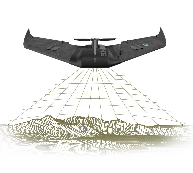
Our aerial vehicles now provide the sharpest vision for millitary and advantage in tracking the enemy for dozens of kilometers. We dream about peaceful future of Ukraine and already think about how to use our UAVs in civilian life. UAVs efficiency allows to resolve a wide range of ambitious tasks – from a company’s profit increase to state borders defence.
Digital agriculture
Use of the aerial vehicles in farming makes the crop quality control, irrigation, and soil analysis much easier.
Firstly, the UAVs are used to spray fertilizers or chemicals at fields with a complex geographical landscape.
Secondly, the aerial vehicles are equipped with thermal imaging cameras that allow to evaluate a plant growth quality.
Thirdly, pictures and videos taken by the UAVs allow a farmer to evaluate the treatment equipment performance, to monitore results and scope of the works performed.
Fishing industry
UAVs may contribute to reduce costs in the fishing industry significantly. The aerial vehicles are equipped with GPS-navigators which provide fish school location and radius to a fishing team. Sonar-equipped UAVs are able to save time and to increase the fishing industry profit. Industrial UAVs are able to transfer cargos, therefore, they are enabled to feed the fish before arrival of a fishing ship to provide a high-quality catch.
Inspection of energy and telecommunication infrastucture objects
Managers of oil, gas, telecommunication companies use UAVs to evaluate a condition of towers and platforms for the sake of environmental care and service staff safety.
Use of drones provides unequivocal advantages:
High-quality videos and photos of defects of the equipment located in inaccessible places
Timely detection of a critical situation and opportunity to resolve it urgently
Quick deployment of the UAV and inspection of life-threatening places
UAVs for state borders defence
Aerial vehicles equipped with thermal imaging cameras and GPS-navigators are effectively used in the USA for state borders defence. Some of them even enable to interpect phone calls. Such systems prevent illegal border crossing effectively, help to track a drug trafficking and smugglers. Regular use of the UAVs enable to prevent and react to such incidents quickly.
UAVs in emergency situations
UAVs having thermal imaging cameras are able to rescue people who got under an avalanche, got lost in the wood, or were swept away far from the shore. The UAVs can deliver medicines, food, communication tools to the victims of a natural disaster, while they wait for the arrival of rescuers.
Also, the UAVs are used by coast guards to track sharks in resort areas. Besides, the aerial vehicle helps to warn about an avalanche danger in mountain areas. Cases of using explosives to provide a controlled toe of the avalanche are known. Scientists study and monitor melting of glaciers in Arctic. Using the drones, the scientists collect information that helps to make more accurate climatic prognosis. The drones are able to deliver a high-precision equipment to an observation location, thereby allowing to monitor a change in weather conditions and global warming which may lead to mass animal deaths.
Mapping
Photogrammetry is a science of measuring objects in photos. Owing to the UAVs and this technology, creation of orthophotomaps, matrices of heights of territories, objects has become much more convenient. Usually, this results in a map or a 3D-model of the object or a real-world scene. Since the UAVs are able to fly at low heights, the image quality is rather high.
Thank you!
We will contact you shortly
11. Cellmeter (battery checker)
8. Telescopic mast (2 pcs)
Dimensions — 500х600х276 mm, weight — 6 kg
1. UAV GALKA (2 pcs)
Case dimentions — 1600х730х120 mm, weight — 2.4 kg